
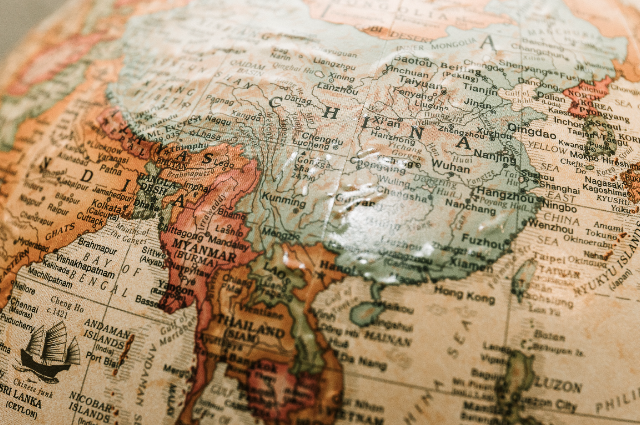
Photo by James Coleman on Unsplash/Representative Image
Introduction:
China, as a rising global power, has recently released a map that has stirred significant controversy and international backlash. This map is more than just cartography; it's a bold statement of territorial claims and geopolitical aspirations. In this comprehensive article, we will delve deep into the contents of China's controversial map, its implications, and the underlying motivations. Let's break it down point by point.
Rejection and Controversy:
China's new map has not been well received internationally. Several countries have vehemently rejected it, viewing it as a violation of international law and territorial sovereignty. This rejection has triggered protests and condemnation worldwide, emphasising the gravity of the situation.
A New Cartographic Algorithm:
China's map-making strategy involves an algorithm that intentionally scrambles the coordinates on its maps for national security reasons. This adds complexity to the issue, making it difficult to work with Chinese maps while underscoring the state's obsession with control and security.
A Disputed Kashmir:
One of the most contentious areas on the map is Kashmir. China's depiction of Kashmir as part of its territory has further fueled the long-standing conflict between India and Pakistan. This region has witnessed sporadic military clashes and border standoffs. It's a vivid example of how maps, when used as geopolitical tools, can exacerbate existing tensions.
Encroachment into Disputed Territories:
China's encroachment into disputed territories, especially in the Himalayas, has been a point of contention. The deadly border dispute in Ladakh in 2020, where 20 Indian soldiers and 4 Chinese soldiers lost their lives, stands as a stark reminder of the tensions these territorial claims can escalate.
Nepal's Sovereignty at Risk:
A leaked government report from Nepal has raised alarms by alleging that China is encroaching into Nepal's sovereign territory, particularly in the Humla District. This report demonstrates China's relentless territorial expansion and encroachment into the lands of smaller neighbouring nations.
Bhutan under pressure:
China has been strategically encroaching into Bhutan's territory since 2006, when they pressured Bhutan into conceding a significant portion of mountainous land. These incursions are not limited to remote regions; China claims ownership of vital areas, including Bhutan's forested nature sanctuary.
Arunachal Pradesh and the Sino-Indian Border Dispute:
Arunachal Pradesh in northeast India is another flashpoint. China claims this Indian territory as its own, disputing the border drawn in the early 20th century. China's recent renaming of locations in this region on its map is indicative of its attempts to standardise its version of territorial boundaries.
China's Increasing Land and Ocean Control:
China's disputes with India over territory on their shared border have resulted in China claiming ownership of regions that historically belonged to India. Furthermore, the construction of a border fence along the Myanmar border restricts movement and trade, raising anger among those accustomed to cross-border activities.
South China Sea and the Nine-Dash Line:
Perhaps the most internationally recognised point of contention is the South China Sea. China's map encompasses nearly the entire region within its infamous nine-dash line, which was drawn up in the 1940s and is not internationally recognised. The implications are profound, given the South China Sea's importance for global trade as well as its vast reserves of fish and fossil fuels. China's creation of artificial islands, militarization of the area, and confrontations with neighbouring countries have escalated tensions significantly.
Militarised Islands and Harassment:
China has escalated the situation by creating artificial islands and militarising the South China Sea. Its aggressive stance has led to confrontations with neighbouring countries and harassment of fishermen, exemplifying the real-world consequences of such territorial disputes.
Senkaku Islands and Taiwan:
Just north of the South China Sea, the disputed Senkaku Islands illustrate China's conflicting claims with Japan and Taiwan. China has not hesitated to send Coast Guard ships and aircraft to assert its sovereignty over these islands. Taiwan, too, appears on China's map as part of its territory, despite being an independent nation for decades. This inclusion, along with the addition of a tenth-dash line east of Taiwan, underscores China's determination to regain control, even if it means using force.
Implications for Russia:
China's map also raises questions about its intent regarding a disputed island near Russia's border. Though a border agreement was reached two decades ago, China's recent claim over this island serves as a reminder of its shifting territorial goals.
Conclusion:
China's new map is far from a benign representation of geography. Instead, it is a geopolitical statement reflecting China's quest for territorial expansion and regional dominance. The implications are significant, with regional tensions escalating and diplomatic relationships strained. This map serves as a potent reminder of how states employ cartography as a tool of power and influence. In a world where political ambitions are often inscribed on maps, it is essential to understand the ramifications and seek peaceful resolutions to territorial disputes.